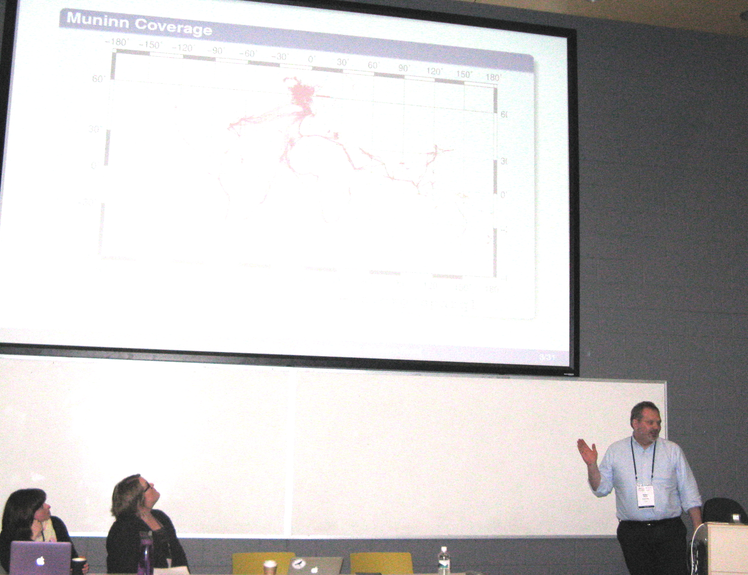
Rob Warren gave a talk on the Panel on Linked Open data at the Digital Humanities Conference, Sydney Australia, June 29 - July 3.
His paper explored the notion of place, feature and geometry in the context of the Great War using Linked Open Data. In previous works, the translation of obsolete military coordinates through API’s (Application Program Interface) was previously covered. He reviewed their use as an efficient and effective means of indexing archival documents about the war. Most war diaries, operations orders and dispatches in British and Dominions records refer to locations using both named features and coordinates. This permits the geo-referencing of each statements within a document to find the current location in question while segmenting the document according to different spatial component.


